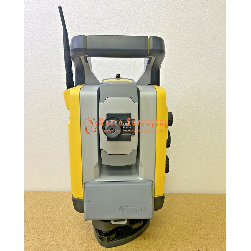
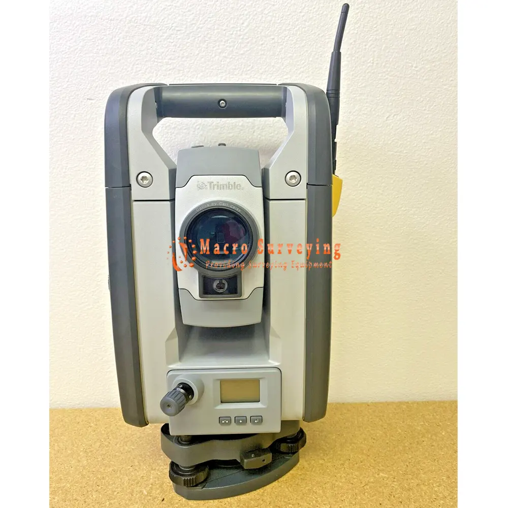
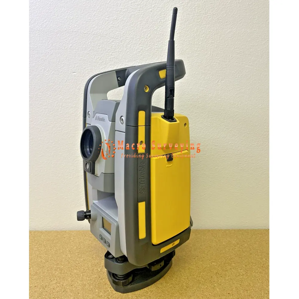
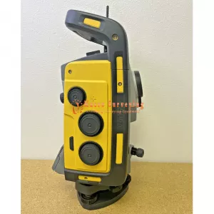
Used Trimble RTS633 3" DR Plus Robotic Total Station
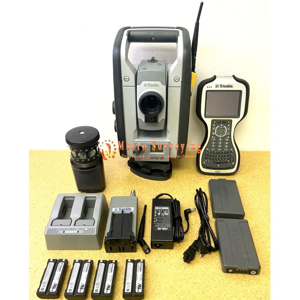
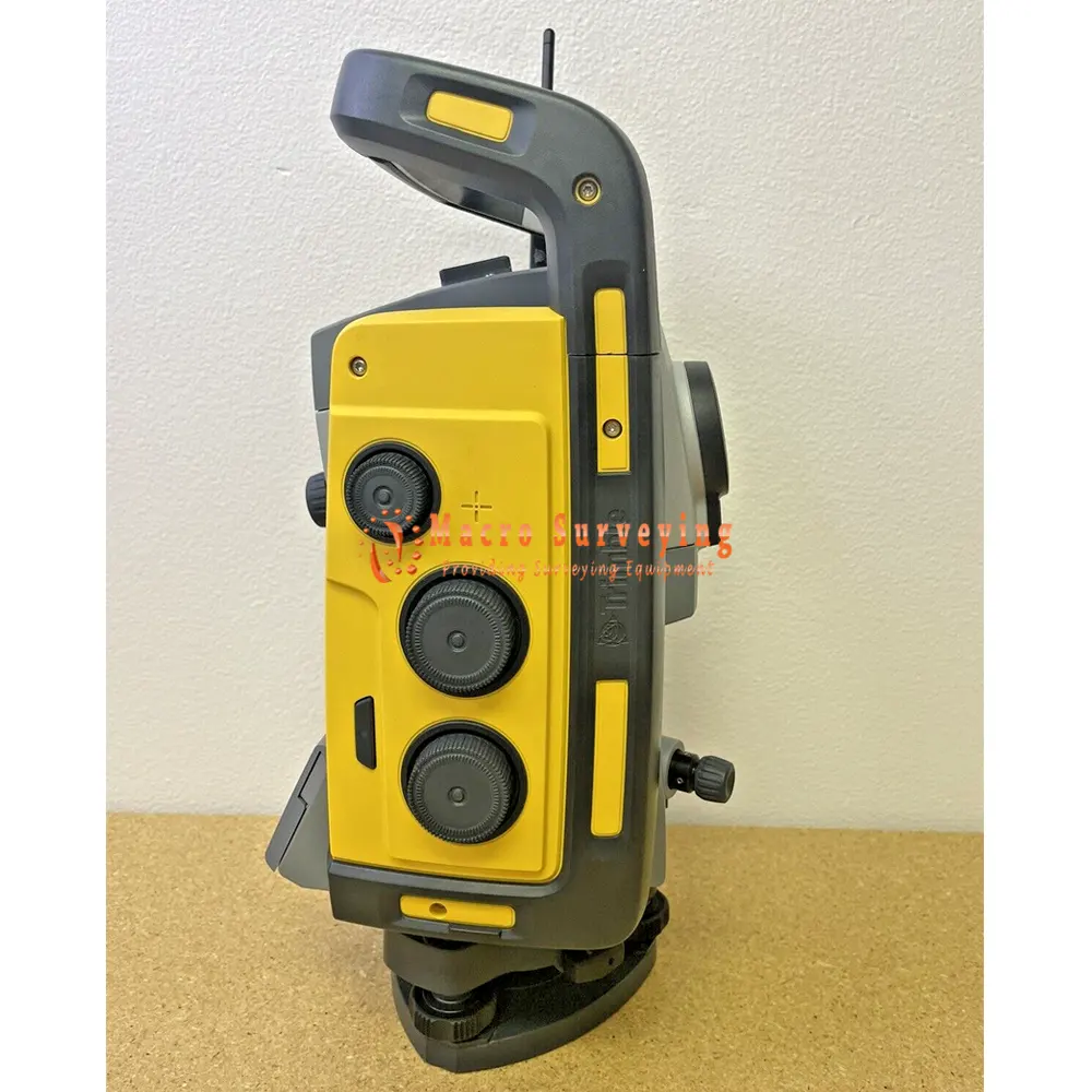
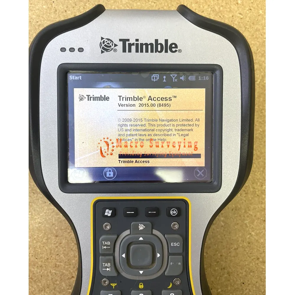
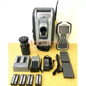
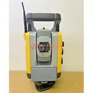
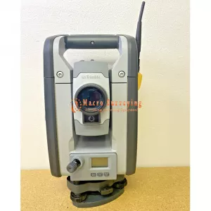
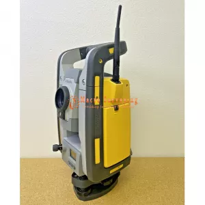
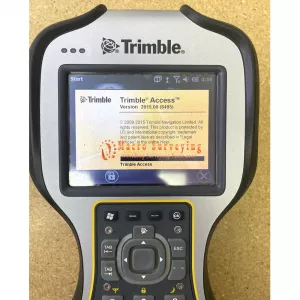
Sale used Trimble RTS633 3” DR Plus Robotic Total Station with Ranger TSC3 Data Collector (Trimble Access 2.4Ghz Radio).
Condition: Used
Up for sale a used Trimble RTS633 3” DR Plus Robotic Total Station with TSC3 field controller & 2.4Ghz Radio. Unit has been fully tested & calibrated by a Trimble certified tech and it is field ready. Ready for use upon delivery. Comes with a 14 Day money back guarantee.
Included In the Sale:
- Trimble RTS633 3” DR Plus
- 2x Battery
- Charger
- Trimble MT1000 360 Prism
- Ranger TSC3 Data Collector w/ Trimble Access 2.4Ghz Radio
- External Radio 2.4Ghz
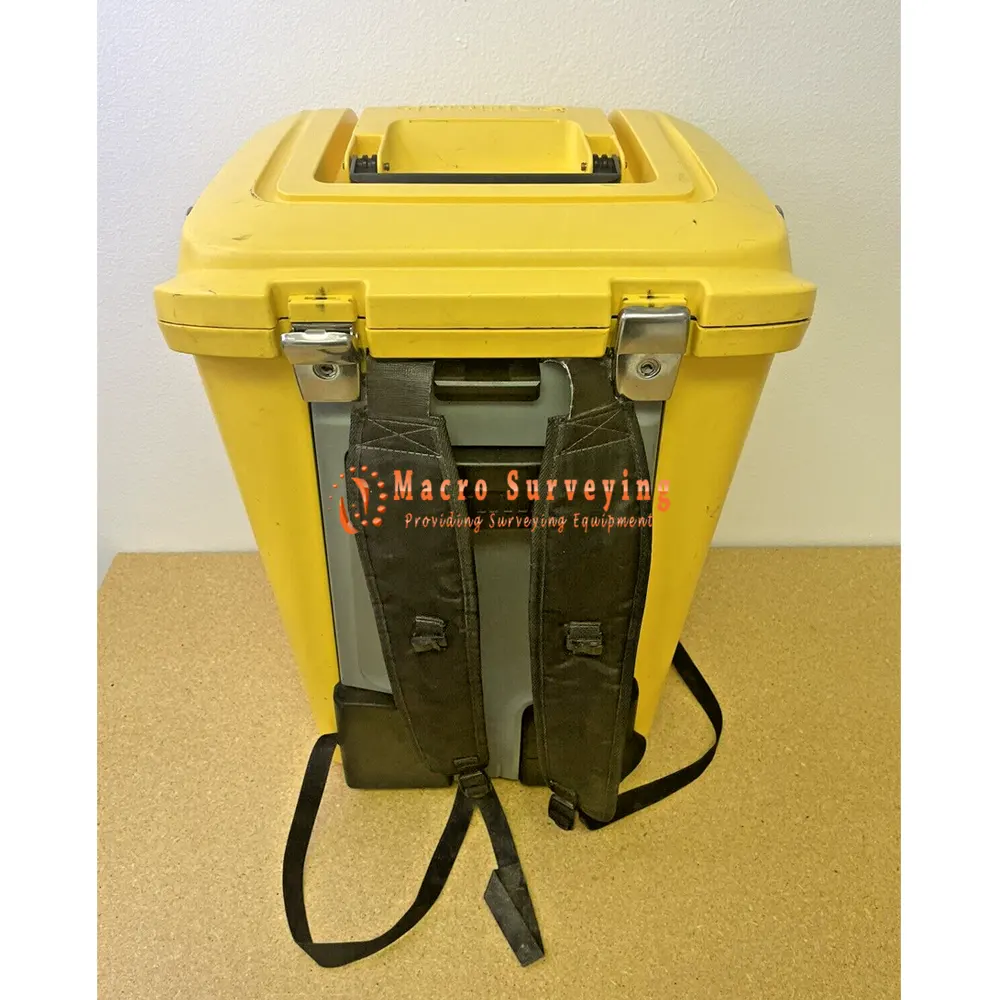
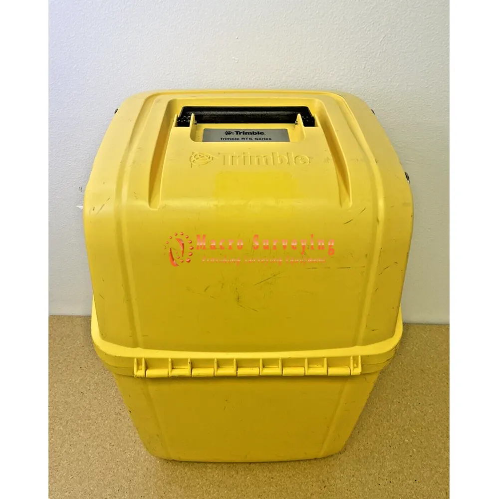
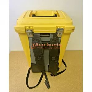
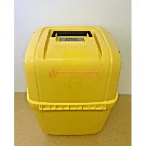
- Carrying Case
- 14 Day return
The Trimble RTS633 is a high-precision robotic total station designed for building construction and civil engineering applications. It features a 3 arc-second angular accuracy, making it highly precise for layout and measurement tasks. The total station can measure distances with an accuracy of ±2 mm + 2 ppm, and has a distance measurement range of 2 to 600 meters. It also has a reflectorless measurement range of 2 to 100 meters.
The Trimble RTS633 features a laser plummet with a Class 2, 635 nm wavelength, and its battery life can last up to 8 hours. It has communication ports for USB, RS232 serial port, and Ethernet port, making it easy to connect to a variety of devices. The total station has a weight of 5.3 kg (11.7 lbs), making it easy to transport and set up on job sites.
The Trimble RTS633 is designed to work with Trimble Field Link software, which provides a range of tools for layout and measurement tasks. These include point creation, stakeout, and quality control. Additionally, the RTS633 supports Trimble VISION technology, which enables users to capture and display high-resolution images of the target area for easier targeting and identification.
Overall, the Trimble RTS633 is a highly precise and versatile robotic total station that can help professionals in the construction and civil engineering industries to streamline their workflow and improve the accuracy of their measurements.
The Trimble RTS633 is a high-precision robotic total station designed for building construction and civil engineering applications.
Here are some of its specifications:
- Angular accuracy: 3 arc seconds (1 milliradian)
- Distance accuracy: ±2 mm + 2 ppm
- Distance measurement range: 2 to 600 meters (6.6 to 1,968 feet)
- Reflectorless measurement range: 2 to 100 meters (6.6 to 328 feet)
- Laser plummet: Class 2, 635 nm wavelength
- Battery life: up to 8 hours
- Operating temperature: -20°C to +50°C (-4°F to +122°F)
- Communication ports: 1 USB, 1 RS232 serial port, 1 Ethernet port
- Weight: 5.3 kg (11.7 lbs)
The RTS633 is designed to work with Trimble Field Link software, which provides a range of tools for layout and measurement tasks, including point creation, stakeout, and quality control. It also supports Trimble VISION technology, which enables users to capture and display high-resolution images of the target area for easier targeting and identification.
