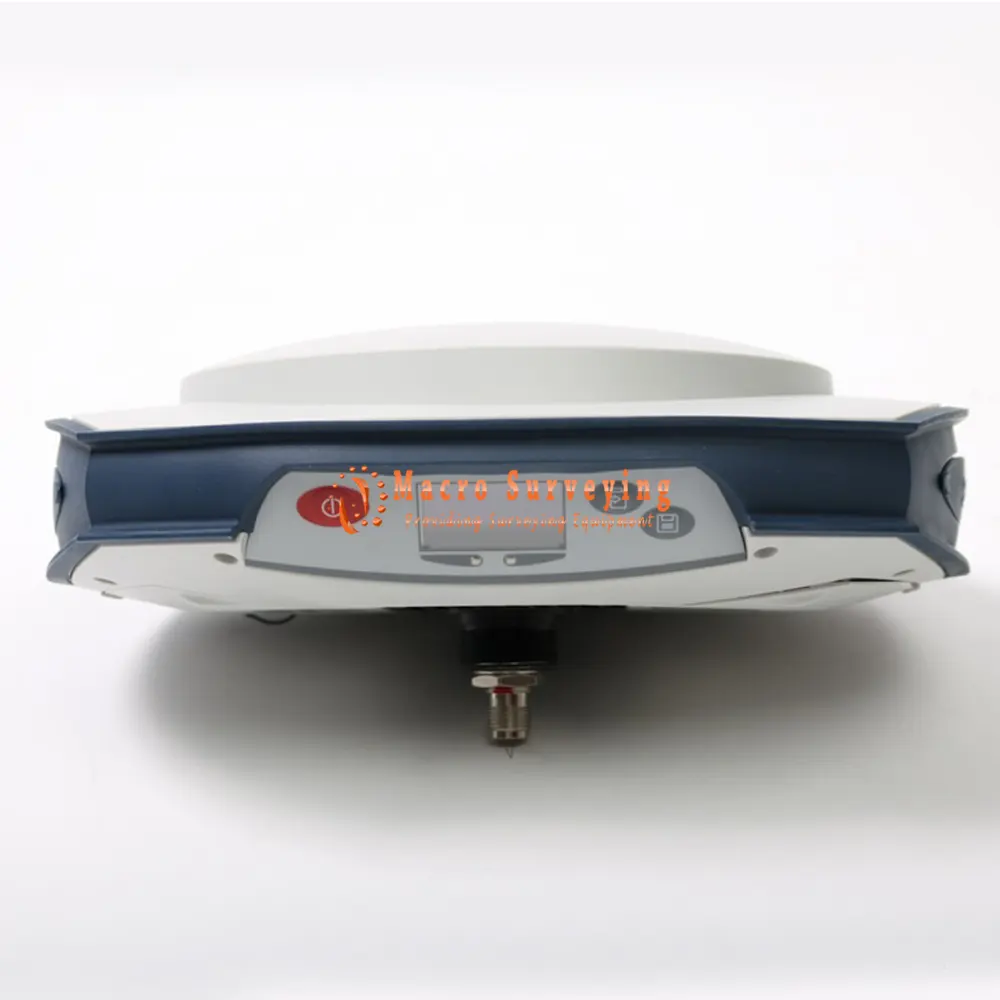
Spectra Precision SP80 GNSS Receiver
Selling brand new never used Spectra Precision SP80 GNSS Receiver, Base and Rover - Precision RTK, GLONASS/Galileo/Beidu/L3/Data Logging, Bluetooth, World Wide.
Condition: New
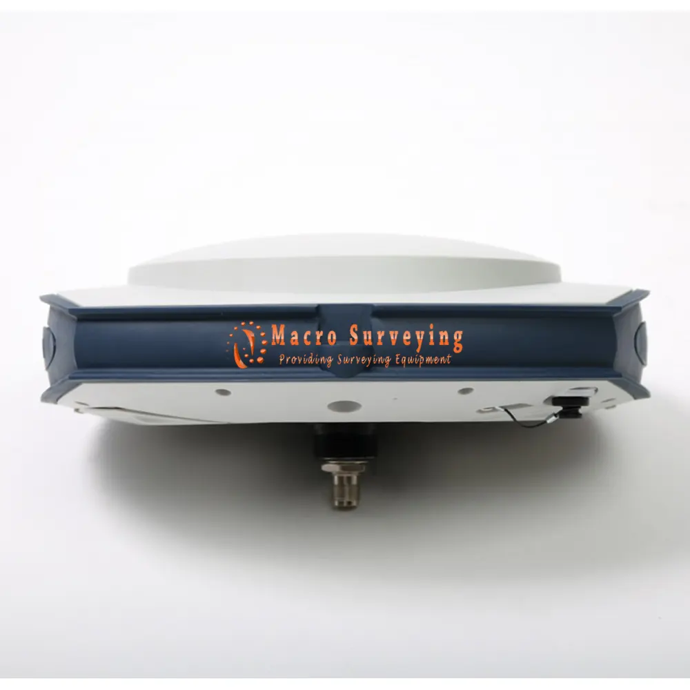

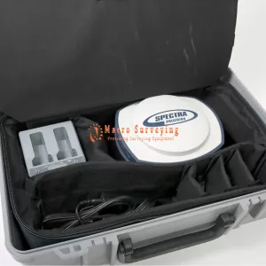
Up for sale GNSS receiver Trimble Spectra Precision SP80 RTK. This is a brand new never used GNSS system.
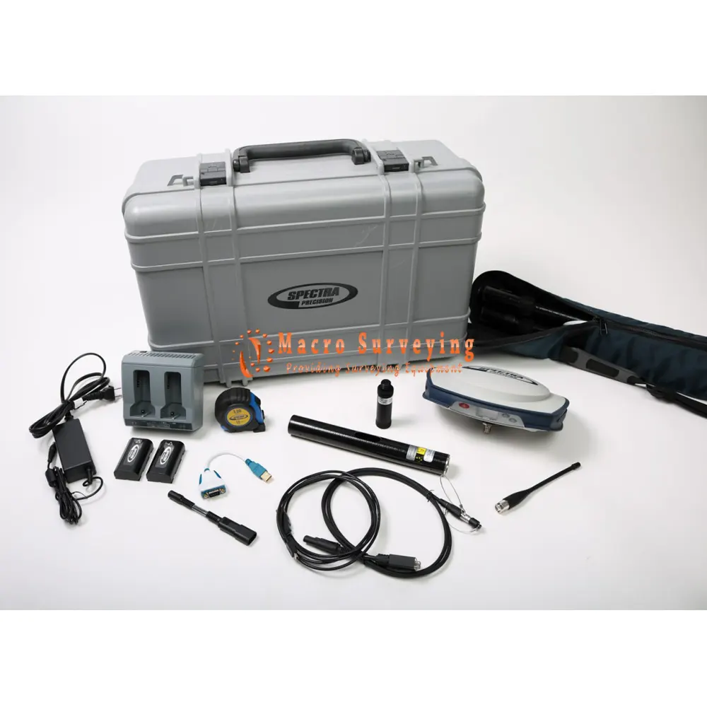
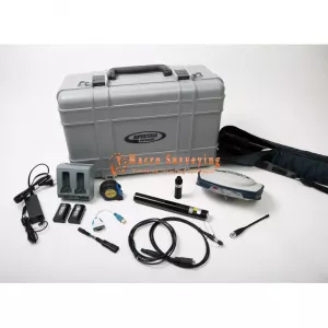
Package Includes:
- SP80 receiver
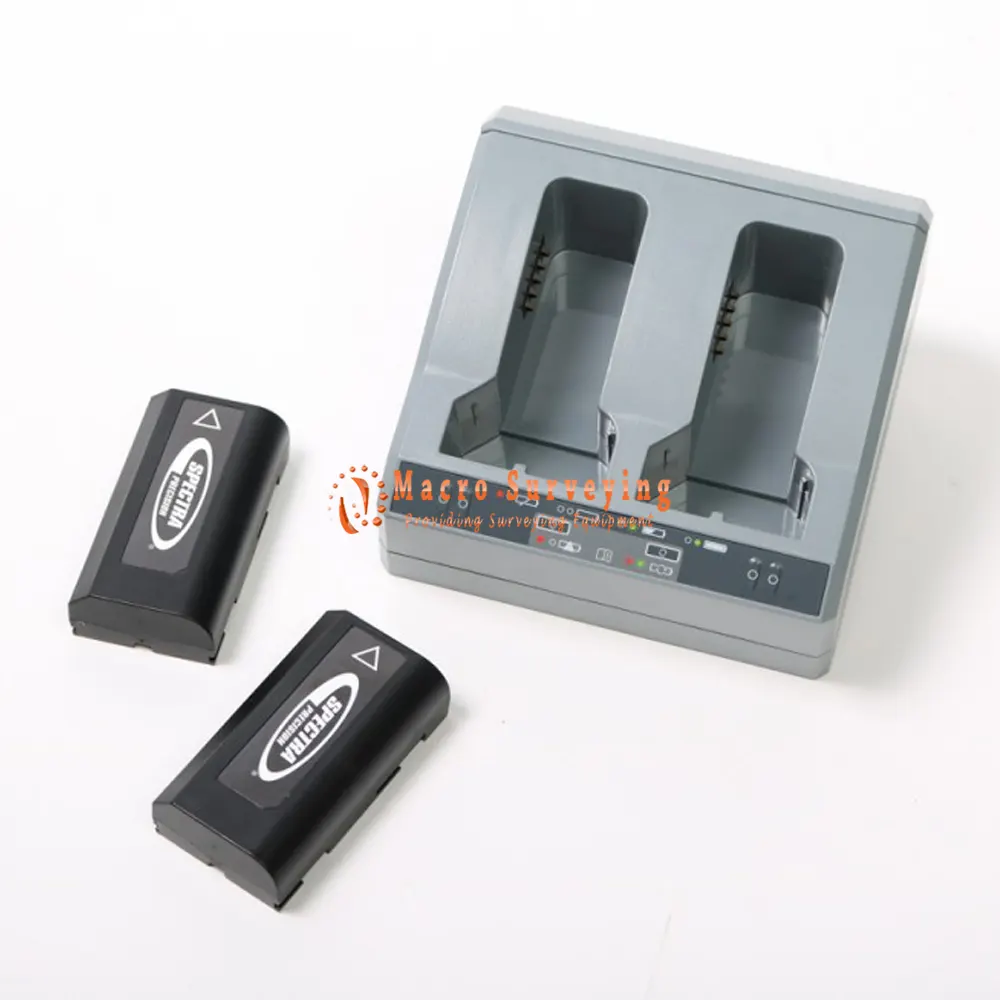
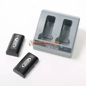
- 2x Li-Ion batteries
- Dual battery charger, power supply and international power cord kit
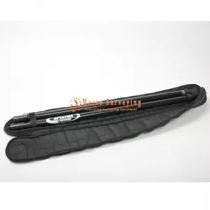
- Tape measure (3.6 m / 12 ft)
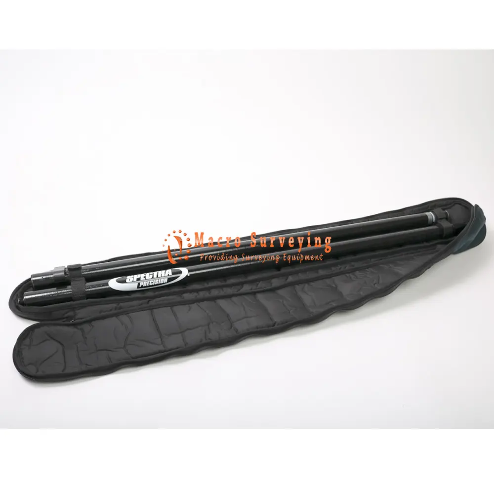
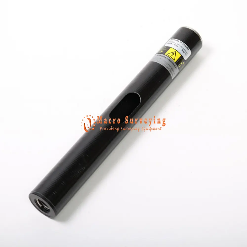
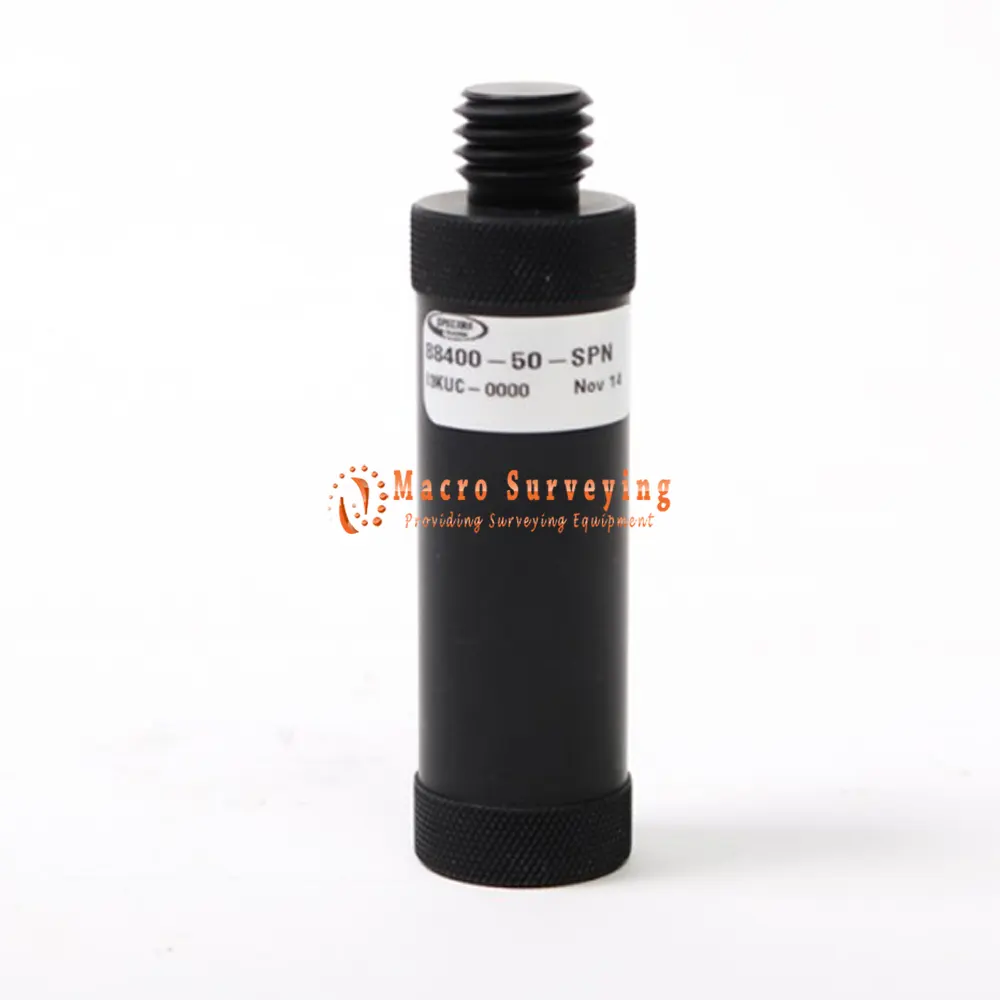
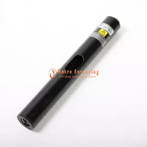
- 7 cm pole extension
- DB9(F) to 0S/7P/M to SAE, Data/Power Cable
- SAE to DC socket Cable - Adapter
- USB to RS232 Cable - Adapter
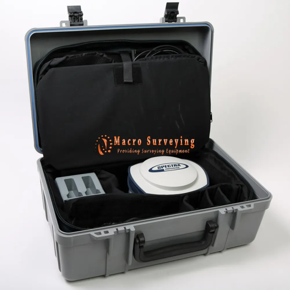
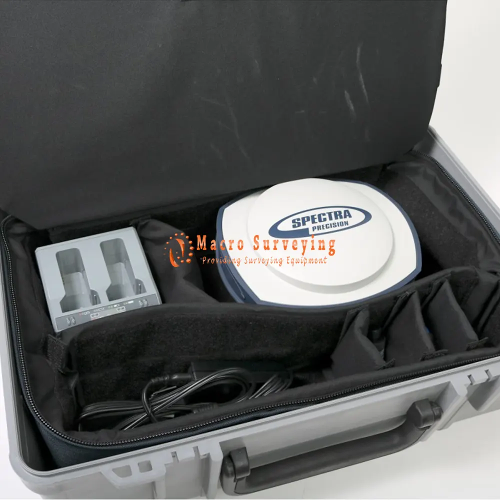
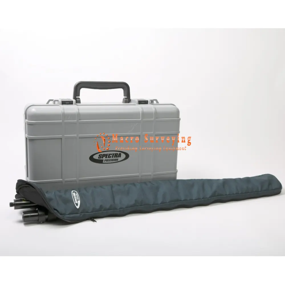
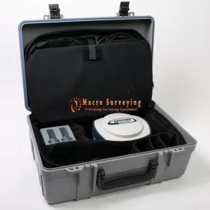
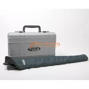
- Hard case
- 30 Day return
Unique 6G GNSS-centric Technology
Patented Z-Blade processing technology running on a next generation Spectra Precision 240-channel 6G ASIC fully utilizes all 6 GNSS systems: GPS, GLONASS, BeiDou, Galileo, QZSS and SBAS. Unlike GPS-centric technology which requires a minimum number of GPS satellites for GNSS processing, Z-Blades unique GNSS-centric capability optimally combines GNSS signals without dependency on any specific GNSS system; this allows SP80 to operate in GPS-only, GLONASS-only or BeiDou-only mode if needed. In addition, SP80 supports the recently approved RTCM 3.2 Multiple Signal Messages (MSM), a standardized definition for broadcasting all GNSS signals from space, regardless of their constellation. This protects the surveyor’s investment well into the future by providing superior performance and improved productivity as new signals become available.
SMS and Email Messaging
SP80 has a unique combination of communication technologies including an integrated 3.5G GSM/UMTS modem, Bluetooth and WiFi connectivity, and optional internal UHF transmit radio. The cellular modem may be used for SMS (text message) and e-mail alerts as well as regular Internet or VRS connectivity. SMS (text messages) can be used to monitor and configure the receiver. Likewise, SP80 can use all available RTK correction sources and connect to the Internet from the field using WiFi hotspots, where available. The internal UHF transmit/receive radio allows for quick and easy setup as a local base station.
This saves time and increases the surveyor’s efficiency.
Anti-Theft Protection
A unique anti-theft technology secures SP80 when installed as a field base station in remote or public places and can detect if the product is disturbed, moved or stolen. This technology allows the surveyor to lock the device to a specific location and make it unusable if the device is moved elsewhere. In this case, SP80 will generate an audio alert and show an alert message on its display. Furthermore, a SMS or e-mail will be sent to the surveyor’s mobile phone or computer and provides the receiver’s current coordinates allowing tracking of its position and facilitating recovery of the receiver. SP80’s anti-theft technology provides surveyors with remote security and peace of mind.
The Spectra Precision Experience
With the most advanced and rugged field data collectors from Spectra Precision, surveyors get maximum productivity and reliability every day.
Spectra Precision Survey Pro or FAST Survey software is specifically tailored for the SP80 GNSS receiver providing easy-to-use, yet powerful GNSS workflows, letting the surveyor concentrate on getting the job done. Spectra Precision Survey Office Software provides a complete office suite for post-processing GNSS data and adjusting survey data, as well as exporting the processed results directly back to the field or to engineering design software packages. Combined with Spectra Precision field and office software, SP80 is a very powerful and complete solution.
Key Features:
- Patented Z-Blade technology
- 240-channel 6G ASIC
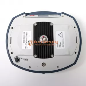
- Hot-swappable batteries
- Internal TRx UHF radio
- 3.5G cellular modem
- Built-in WiFi communication
- SMS and e-mail alerts
- Anti-theft technology
- Backup RTK
- RTK Bridge
- eLevel technology
- Trimble RTX correction services
GNSS Characteristics
- 240 GNSS channels
- GPS L1C/A, L1P(Y), L2C, L2P(Y), L5
- GLONASS L1C/A, L1P, L2C/A, L2P, L3
- Beidou (Phase II) B1, B2
- Galileo E1, E5a, E5b
- QZSS L1C/A, L1-SAIF, L1C, L2C, L5
- SBAS L1C/A, L5 (WAAS, EGNOS, MSAS, GAGAN, SDCM)
- IRNSS L5
- Support for Trimble RTX™ real-time correction services
- Patented Z-Blade technology for optimal GNSS performance
- Full utilization of signals from all 6 GNSS systems (GPS, GLONASS, BeiDou, Galileo, QZSS and SBAS)
- Enhanced GNSS-centric algorithm: fully-independent GNSS signal tracking and optimal data processing, including GPS-only, GLONASS-only or BeiDou-only solution (Autonomous to full RTK)
- Fast Search engine for quick acquisition and re-acquisition of GNSS signals
- Patented SBAS ranging for using SBAS code & carrier observations and orbits in RTKprocessing
- Patented Strobe™ Correlator for reduced GNSS multi-path
- Up to 20 Hz real-time raw data (code & carrier and position output)
- Supported data formats: ATOM, CMR, CMR+, RTCM 2.1, 2.2, 2.3, 3.0, 3.1 and 3.2 (including MSM), CMRx and sCMRx (rover only)
- NMEA 0183 messages output
SP80 Technical Specifications
| Real-Time Accuracy (RMS) | |
| SBAS (WAAS/EGNOS/MSAS/GAGAN) | Horizontal: < 50 cm |
| Vertical: < 85 cm | |
| Real-Time DGPS position | Horizontal: 25 cm + 1 ppm |
| Vertical: 50 cm + 1 ppm | |
| Real-Time Kinematic Position (RTK) | Horizontal: 8 mm + 1 ppm |
| Vertical: 15 mm + 1 ppm | |
| Network RTK | Horizontal: 8 mm + 0.5 ppm |
| Vertical: 15 mm + 0.5 ppm | |
| Real-Time Performance | |
| Instant-RTK® Initialization | Typically 2 sec for baselines < 20 km |
| Up to 99.9% reliability | |
| RTK initialization range | Over 40 km |
| Trimble RTX Initialization | |
| CenterPoint® RTX | Horizontal (RMS): < 4 cm |
| Initialization: <30 mins, <5 mins | |
| GNSS: L1 + L2 | |
| Post-Processing Accuracy (RMS) | |
| Static & Fast Static | Horizontal: 3 mm + 0.5 ppm |
| Vertical: 5 mm + 0.5 ppm | |
| High-Precision Static | Horizontal: 3 mm + 0.1 ppm |
| Vertical: 3.5 mm + 0.4 ppm | |
| Data Logging Characteristics | |
| Recording Interval | 0.05 - 999 seconds |
| Physical Characteristics | |
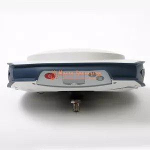
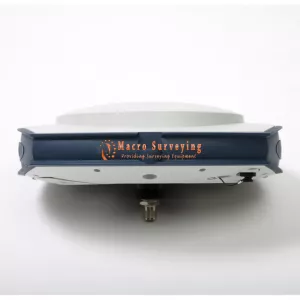
| Size | 22.2 x 19.4 x 7.5 cm (8.7 x 7.6 x 3.0 in) |
| Weight | 1.17 kg (2.57 lbs) |
| User Interface | Graphical PMOLED display |
| WEB UI (accessible via WiFi) for easy configuration, operation, status, and data transfer | |
| I/O Interface | RS232 serial link |
| USB 2.0/UART | |
| Bluetooth 2.1 + EDR | |
| WiFi (802.11 b/g/n) | |
| 3.5G quad-band GSM (850/900/1800/1900 MHz) / penta-band UMTS module (800/850/900/1900/2100 MHz) | |
| Memory | 2 GB internal memory NAND Flash (1.5 GB user data) |
| Over a year of 15 sec. raw GNSS data from 14 satellites | |
| SD/SDHC internal memory card (up to 32GB) | |
| Operation | RTK rover & base |
| RTK network rover: VRS, FKP, MAC | |
| NTRIP, Direct IP | |
| CSD mode | |
| Post-processing | |
| RTK bridge | |
| UHF repeater | |
| UHF networking | |
| Trimble RTX (cellular/IP) | |
| Environmental Characteristics | Operating temperature: -40° to +65°C (-40° to +149°F) (4) |
| Storage temperature: -40° to +85°C (-40° to +185°F) (5) | |
| Humidity: 100% condensing | |
| IP67 waterproof, sealed against sand and dust | |
| Drop: 2m pole drop on concrete | |
| Shock: ETS300 019 | |
| Vibration : MIL-STD-810F | |
| Power Characteristics | 2 Li-Ion hot-swappable batteries, 38.5 Wh (2 x 7.4 V, 2600 mAh) |
| Battery life time (two batteries): 10 hrs(GNSS On, and GSM or UHF Rx On) | |
| External DC power: 9-28 V | |