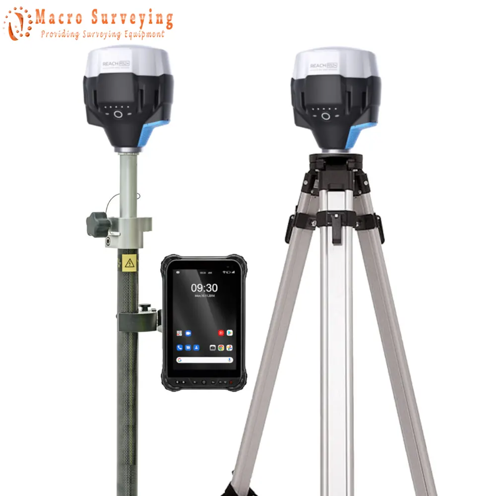
Emlid Reach RS2+ Rover Base set
Emlid Reach RS2+ Rover Base set, Multi-band RTK GNSS receiver with centimeter precision For surveying, mapping and navigation. Comes with a mobile app.
Condition: New
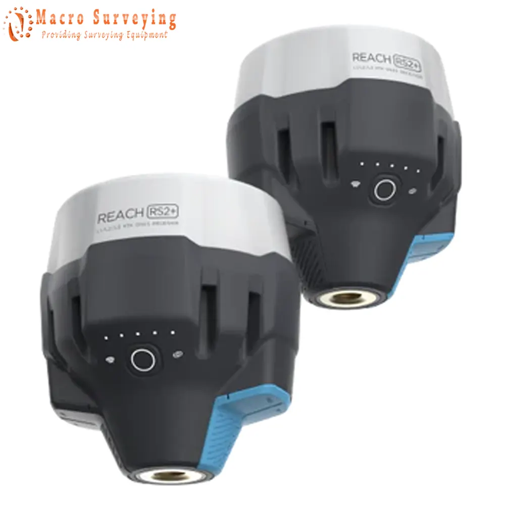


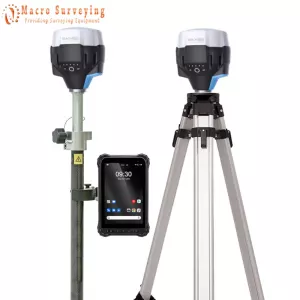
The Emlid Reach RS2+ is a continuation of the RS2 line. The only majour difference is the upgrade from the 3.5G modem to the LTE Modem. With the new BLE connection method, one can actually utilise the 4G, LTE or 5G capabilities of ones controller using the RS2 as well as the RS2+. Performance comparison between the two are exactly the same. Users don't need to upgrade their RS2 to RS2+ if they use their units without a sim card or in their countries 2G and 3G networks will be available, or if they utilise the new BLE connection function.
Package Includes:
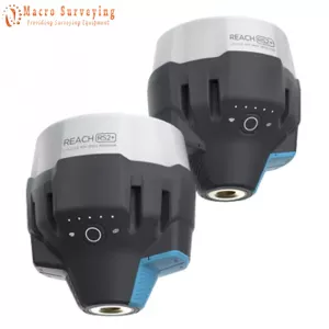
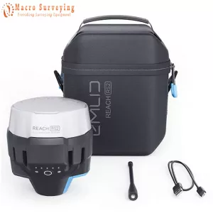
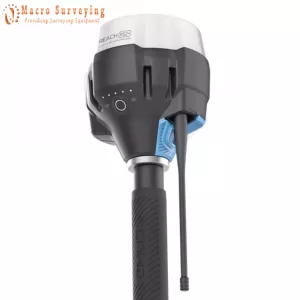
- 2x Emlid Reach RS2+
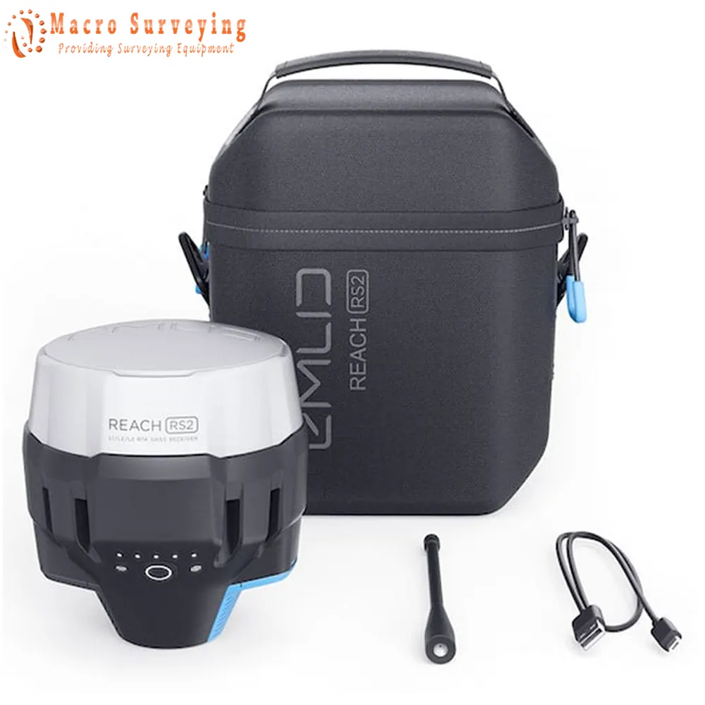
- Radio antenna
- USB Type-C cable
- Carrying case with a strap
- 1x Microsurvey FieldGenius for Android
- 1x RTK FIX T1 Bluetooth: 5.1 Long Range
- TAB83 Device
- 8000mAh Battery
- Type C Charging Cable
- USB QC3.0 Power Adapter
- USB QC3.0 Power Adapter
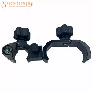
- 1x Controller bracket
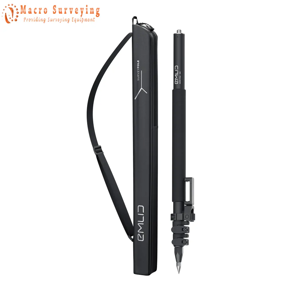
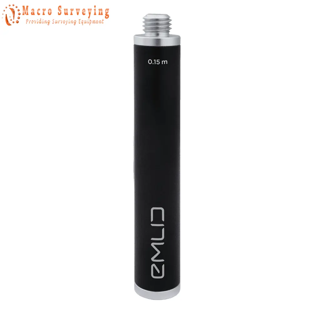
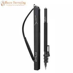
- 1x Emlid Reach Survey Pole (0.74m Closed; 1.8m Extended length)
- 1x Survey Pole
- 1x Carrying bag
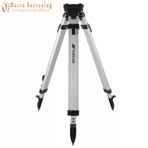
- 1x Topcon Aluminum Tripod Level Survey/Stand, Max. Height-Thread: 63 inch (1.7m) - 5/8x11”
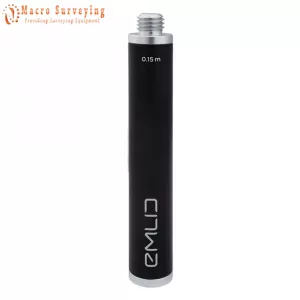
- Emlid Reach extension pole
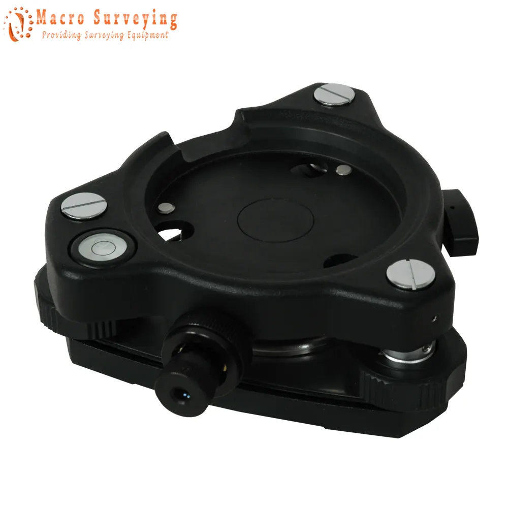
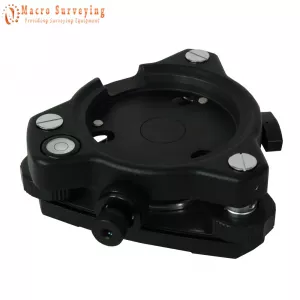
- 1x Seco Tribrach With Optical Plummet (focusing range of 0.5 to 15m)
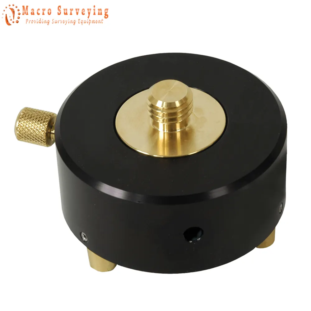
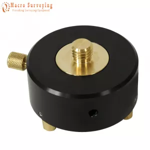
- 1x Seco Tribrach with Rotating Adapter Removable Center
Survey with Emlid Flow and manage data with Emlid Flow 360
Emlid Flow is a mobile app for iOS and Android. It handles all the fieldwork-receiver settings, data collection, coding, linework, and stakeout. All survey data is in sync with the cloud-based service Emlid Flow 360, which allows you to access your projects from your browser and manage survey data and code lists.
FREE Collect and stake out points (Use any coordinate system you need)
To create a project for data collection, choose your coordinate system from the library or enter its parameters manually. The app supports thousands of coordinate systems, projections, grids, and geoids.
In the stakeout mode, the app displays East-North and straight-to-line distances and supports cut and fill indications. A close-up alignment mode helps you to center precisely above the point.
Collect and stake out lines (Create linework on the go, start new lines, and continue collecting existing ones)
You can either use predefined geometry types or a full-blown code library. The linework is displayed right away, so you can always see how your project is progressing.
During the stakeout, you can easily navigate to a line, and stake it out with an offset and with a chainage.
Coding (Quickly switch between different object codes as the whole library is at your fingertips at all times)
To measure and describe objects, upload your custom code library or use a built-in one with more than a hundred codes. Easily create new codes on the fly right in your survey project.
Work with different background maps
Upload topographic maps, cadastral plans, and aerial imagery from WMS and WMTS sources or work with a built-in satellite map.
Manage your projects in the cloud
The Emlid Flow app is synchronized with the Emlid Flow 360 service. This allows you to create and access survey projects, manage coordinate systems, and export and import data using both the mobile app and the Emlid cloud service.
Manage your code libraries
Import your code library to Emlid Flow 360, and it is immediately available for your projects inside the Emlid Flow mobile app. No need to check if the latest version is on the collector, as it all syncs automatically.
Gets a fix in seconds
Reach RS2+ gets a fixed solution in just seconds and maintains robust performance even in challenging conditions. Centimeter accuracy can be achieved on distances up to 60 km in RTK, and 100 km in PPK mode.
PPP Support
Record raw positioning data in the RINEX format for further post-processing. RINEX logs are compatible with OPUS, AUSPOS, and PPP services, so you can get cm-precise results anywhere on Earth. For post-processing, you can use our free PPK software Emlid Studio.
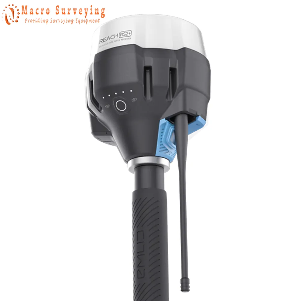
Built-in LTE modem
Reach RS2+ features a power-efficient LTE modem with 2G/3G fallback and global coverage. Now corrections can be accessed or broadcasted over NTRIP independently, without relying on an internet connection on your phone.
22 hours on 1 charge
Up to 22 hours of autonomous work when logging data and up to 16 hours as an LTE rover, even in cold weather—no more need to carry spare batteries with you. Reach RS2+ can charge from a USB wall charger or a power bank over USB-C.
|
GNSS |
|
| Number of channels | 184 |
| Signal tracked |
|
| Update rates | up to 10 Hz |
|
Positioning |
|
| Static | H: 4mm + 0.5ppm V: 8mm + 1ppm |
| PPK | H: 5mm + 0.5ppm V: 10mm + 1ppm |
| RTK | H: 7mm + 1ppm V: 14mm + 1ppm |
| Convergence time | ~5s typically |
|
Connectivity |
|
| LoRa radio |
|
| LTE modem |
|
|
Data |
|
| Corrections | NTRIP, RTCM3 |
| Position output | NMEA, LLH/XYZ |
| Data logging | RINEX |
| Internal storage | 16GB |
|
Electrical |
|
| Autonomy | 16-hrs as LTE RTK rover, 22-hrs logging |
| Battery | LiFePO4 6400mAh, 6.4V |
| External power input | 6 - 40V |
| Charging | USB Type-C 5V, 3A |
| Certification | FCC, CE |
|
Mechanical |
|
| Operating tº | -20 to +65ºC |
| Ingress protection | IP67 |
| Dimensions | 126 x 126 x 142 mm |
| Weight | 950g |
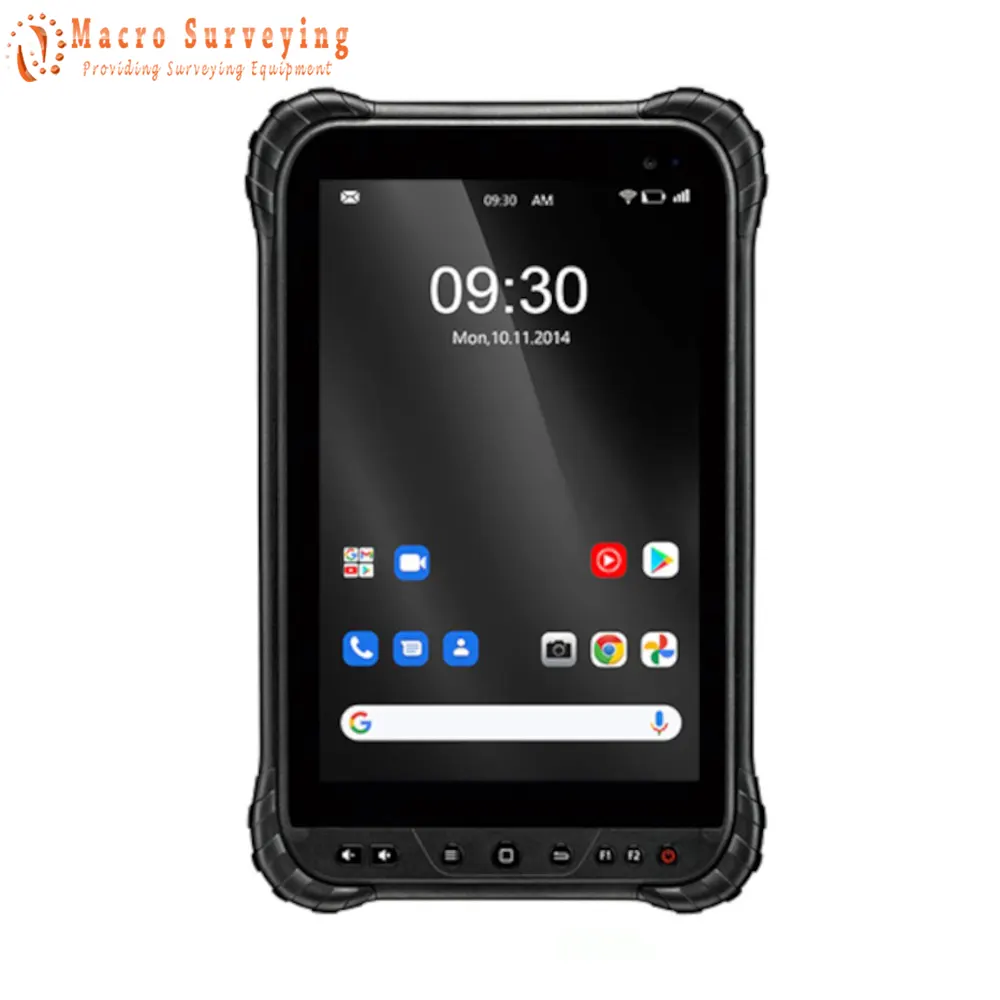
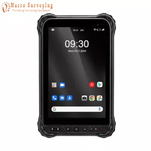
RTK FIX T1 Data Collector
The RTK FIX T1 is the perfect solution if you want to work with a larger screen. The RTK FIX T1 is a 8 inch tablet with an Android 10 operating system and a powerfull CPU. Drop tested to 1.2m and IP67 waterproofing and still only weighs 600g. The RTK FIX T1 packs a powerful CPU which ensures a smooth running of your most favourable land surveying software solutions. Equipped with the latest Android 10 operating system you will have access to the Google playstore to download any application you like. Pre-installed with google mail and google drive you can instantly share your documents to the office and back.
With the intergrated internet modem in the RTK FIX T1 you are able to receive RTK correction data straight into the tablet, so you are GNSS receiver doesn’t need to have an internet modem. Just like it's little brother this tablet is also pre-installed with Google Mail and Google Drive so you can instantly share your documents to the office and back. Because of the Android 10 operating system you are also able to go to the Google Playstore and download every application you like.
RTK FIX T1 Spesification:
|
Operating System |
|
| OS | Android 10 GMS |
| CPU | Qulcomm Snapdragon SDM632, 8 x 1.8GHz |
| Language support | Multi-Language |
|
Display |
|
| Size | 8” IPS FHD 800*1200 500 Nits |
| Screen Technology | IPS Display Panel Coming Gorilla Glass 3 |
| Touch Panel | Capacitive, 10-Point Touchscreen, Glove/Wet Finger Supported |
| Enclosure | |
| Dimensions | 8” 235 x 145 x 15 mm (9.3 x 5.7 x 0.6 in) |
| Weight | 600g (21.16 oz) |
|
Camera/Fotos/Video |
|
| Rear | 13M Autofocus with Flash Light |
| Front | 5M |
| Flash Lights | Support |
|
Keypad |
|
| 8 Functions keys | Power / Home / Menu / Back / Volume +/- / F1 / F2 |
|
Audio |
|
| Audio PA | Integrated Loundspeaker |
| Audio Jack | Type C |
|
Indicator |
|
| RGB Indicator | |
|
Symoblogies |
|
| RFID (NFC) |
|
|
Power Source |
|
| Battery | Swappable Lithium-ion Polymer |
| Capacity | 8000mAh |
| Voltage | 3.8V |
| Adapter | QC3.0 Quick Charger |
| Battery Approvals | UN38.3 MSDS IEC 62133 |
|
Regulatory Approvals |
|
|
|
|
Software |
|
| Compatible with Common third-party software | |
|
Communication |
|
| SD | 1x Micro SD Support Max. 128GB |
| SIM | 2x Nano SIM & Dual Standby |
| Sensor | G Sensor, Gyro, E-Compass,Ligh Sensor |
| USB | USB Type C Support OTG, USB2.0 |
| Pogo Pin | 14x Back Pins Pogo Pin UART/USB/DCIN/CAN/GPIO/USB2.0 |
| Bluetooth | Bluetooth 4.2 |
| GPS |
|
| Positioning Accuracy |
|
| WLAN | WIFI/BT/ NFC |
| NFC | Support UHF / NFC |
| Wifi | Wi-Fi 802.11 a/b/g/n/ac, 2.4GHz/5GHz |
| WWAN |
|
Microsurvey FieldGenius for Android
The software allows you to measure and plot points. They also take care of the correct transformation of coordinates, for example to RDNAP, so that you do not have to do this afterwards. The RTK correction is also carried out in the software.
FieldGenius Android Key Points
- Collect Points
- Import CAD Files
- Plot Points
- Import Code List
- Set Coordinate System
- Import Data (dxf, txt, csv, shapefiles, etc.)
- Export Data (dxf, txt, csv, shapefiles, etc)
- Change Background Map
- Draw Lines
- Edit Points
- Stake-Out Points
- 1 Year Free Maintenance and Software Upgrades Included